AO Edited
Chicoma Mountain
The highest peak in the Jemez Mountains and the traditional center of the Pueblo world.
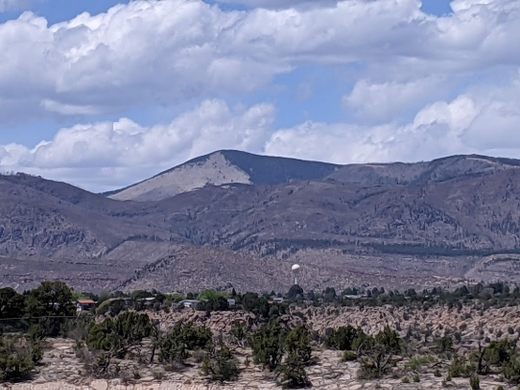
From a distance, the iconic triangular meadow of Chicoma’s southern slope makes it one of the more strikingly beautiful mountains of the Colorado Plateau. Its name comes from the Pueblo word Tschicoma, or “place of much rock.” To the Pueblo people, it is traditionally believed to be the center of the world.
At 11,561 feet high, it is the highest peak of the Jemez Mountains and the second-most topographically prominent peak in New Mexico. It was formerly part of the slope of an enormous supervolcano. When the magma in this volcano was depleted, the entire structure collapsed, leaving a rim of smaller mountains around the Valles Caldera.
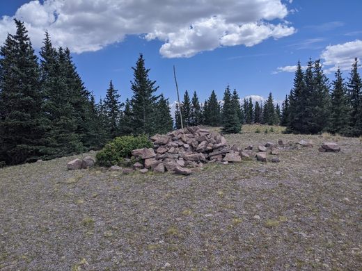
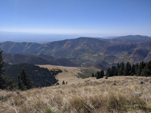
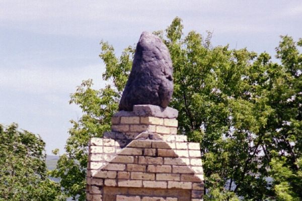
The tree line rises nearly to the summit, so you’ll need to poke around a bit for views of the surrounding mountain ranges, Los Alamos, and Espanola. At the summit itself, you’ll find a large cairn and geological survey marker, as well as a shrine where Pueblo people leave traditional offerings such as corn, obsidian, and feathers. The directional orientation of the seven “rain roads” emanating from the shrine’s center indicates pilgrimages from Taos, San Juan, Santa Clara, San Ildefonso, Jemez, and Cochiti Pueblos, as well as the Navajo.
Know Before You Go
While much of the southern slopes of the mountain are on Santa Clara pueblo land, the peak of Chicoma is accessible to visitors from the north. This is of course, as long as they've got a good GPS and lack a fear of heights. From Española, take 31 Mile Road and State Highway 565 for about 26 miles. The dirt road is well maintained, and the views are magnificent and/or terrifying, depending on your perspective. There will be a clear parking area about 26 miles in, with a much rougher dirt road extending into the forest. The coordinates for said parking area are 36.020397, -106.398918.
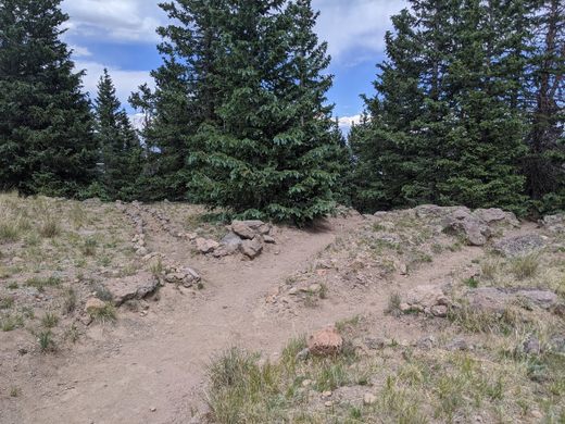
There is no trail that actually leads to the summit. While there are a few old logging roads criss-crossing the upper slopes, most hikers simply accept the bushwhack and march through the forest directly to the summit. Without a GPS, it is easy to get lost here. Black bears and mountain lions are an additional threat here, so make a lot of noise and carry pepper spray. Elk are also commonly found here.
Be mindful of your presence on the mountain, as it is a sacred place to thousands of native people. Do not tamper with the shrine or anything in it, and remember to leave no trace.







Follow us on Twitter to get the latest on the world's hidden wonders.
Like us on Facebook to get the latest on the world's hidden wonders.
Follow us on Twitter Like us on Facebook