Incandescent Rocks
Colorful outcrops and cliffs just north of Reno provide a scenic backdrop for hiking and mountain biking.
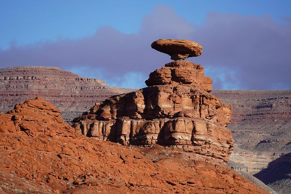
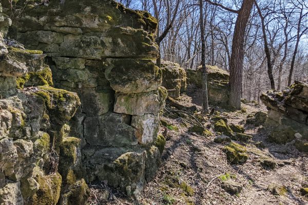
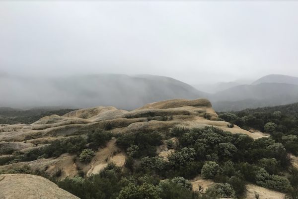
About 25 miles north of Reno, the Incandescent Rocks consist of colorful layers of volcanic rock weathered into photogenic cliffs, buttes, caves, and arches. In this area and the nearby Painted Hills, the hues range from light pinkish and orange to deep red, and contrast strikingly with most of the surrounding area. Indeed, the rocks seem transplanted from the red-rock country of the Colorado Plateau.
The area was prospected for uranium in the 1950s and there are even a couple of abandoned mines from that era. The old prospecting roads are largely impassible now except to extreme four-wheel-drive vehicles, but they provide a convenient network of access trails. They also remain open to dirt bikes and ATVs, however, so hikers need to exercise some caution. In any event, the terrain is open enough in most areas that cross-country hiking is easy.
Know Before You Go
Several primitive roads head into the area generally from the south, as shown on the USGS Tule Peak 7.5' quadrangle map. In all cases, high clearance and 4wd are desirable, but even so most vehicles will need to park when the old track becomes too extreme. Begin hiking or biking from this point.
To get to the Incandescent Rocks (west) side, turn west at the intersection of the Pyramid Highway (Nevada State Route 445) with Grass Valley Road (intersection at 39.840392 N, 119.658100 W). Follow this road 2.6 miles. It will bend north, then dogleg west, then go north again, and finally bend slightly to the left at another intersection (at 39.865356 N, 119.677118 W). Go straight north here 0.2 miles to a T-junction (at 36.867901 N, 119.677054 W) with an unimproved road. For the closer access point, turn left and go 0.8 mile to a junction with a primitive road coming in from the right (north) at 39.873105 N, 119.689650 W. For another access point, continue another 0.5 miles west to another intersection with a primitive road at 39.875619 N, 119698979 W. This is the old track that leads to the abandoned mines.
To get to the Painted Hills (east) side, stay on SR 445 to an intersection (at 39.864706 N, 119.646234 W) with a graded (but probably unmarked) road coming in from the left. Turn here. For one access point, follow this road 1.4 miles to a junction at 39.890427 N, 119.632050 W, where a primitive road comes in from the left. Another access point is reached 0.3 miles farther, where a primitive road comes in from the left at 39.894214 N, 119.630098 W. When following this road, bear right at the intersection at 39.899251 N, 119.634067 W to continue to the top of the ridge.


Follow us on Twitter to get the latest on the world's hidden wonders.
Like us on Facebook to get the latest on the world's hidden wonders.
Follow us on Twitter Like us on Facebook