The Race to Put Thousands of Miles of English Walking Paths Back on the Map
Corpse roads are among the country’s traditional trails.
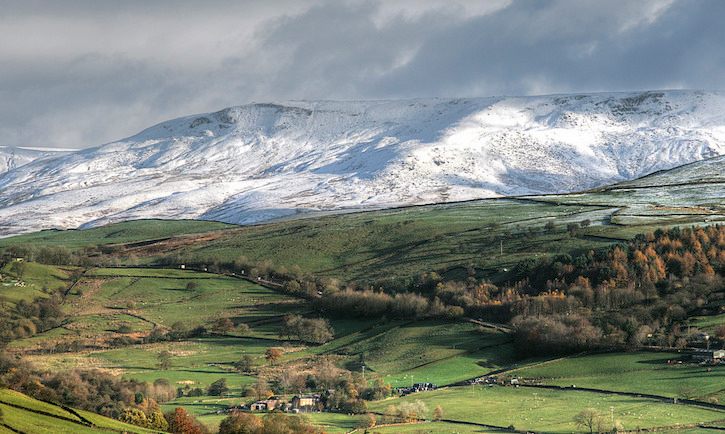
The heathery heaths, muddy moors, and chalky downs of England are criss-crossed by tens of thousands of miles of public walking paths. Tramping along these lightly beaten paths over fields and uncultivated land is integral to the fabric of English society—and protected by a 2000 law that established the “right to roam” freely over the countryside and along ancient roads, even when the land is in private hands. But although 140,000 miles of paths are already established as public “rights of way,” there are many thousands more that could be accessible to the public, but haven’t yet been added to official maps. Though many of these paths have been used for centuries, if they aren’t documented by an impending deadline, the right to walk them could be lost.
“They became rights of way because ordinary people used those routes over hundreds and hundreds of years,” says Jack Cornish, who manages the “Don’t Lose Your Way” campaign for the Ramblers, a U.K. charity that is currently on a mission to record these byways. The practice of roaming freely has led to many clashes over the years, usually with landowners, so the government has determined that every historic byway and thoroughfare must be mapped by 2026, or private land rights will take precedence over traditional mobility.
Now, people are delving into archives and poring over old maps in search of footpaths, and submitting them to local councils for review so they can be added to official national Ordnance Survey maps. But not any old track through the heather will do. Paths can be added by virtue of current use, showing evidence, for example, that people have commonly used a route without meeting resistance over the past 20 years. Or a private landowner can concede a public right of way on their own land. Most commonly, a path can be made a public right of way by history—some variation of all the collected customs by which, across centuries, walkers have asserted their rights to get from here to there. One of the most curious of these historical precedents is known as the “corpse road.”
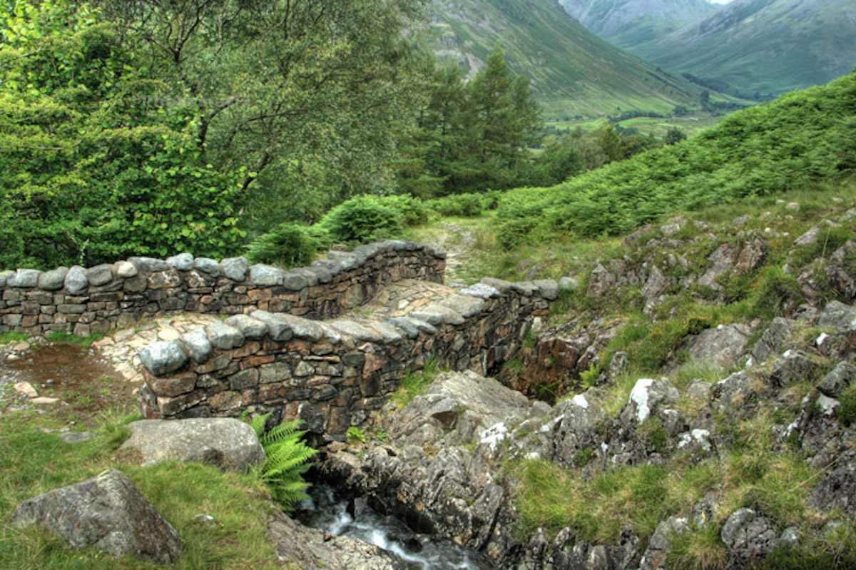
The dead don’t walk or talk, but they do have a history of laying down paths in England. Corpse roads—also called coffin routes, bier ways, lychways, burial roads, or church ways—were traditionally formed when the living passed a dead body over fields, moors, burns (little trickling streams), fells, and fens as the remains were transported from home, where people usually died, to their final resting places in a church’s burial grounds. Sometimes these routes were long. For centuries, only at particular “mother churches” was the ground properly consecrated for burial.
“The heyday for corpse roads was probably early medieval times,” says Alan Cleaver, who researched these old routes extensively with his partner Lesley Park for their book The Corpse Roads of Cumbria. (Not until the 18th century had most local churches successfully petitioned for the right to bury the dead on their own.) In those days, “you could sing hymns and worship in your little local church, but if you wanted to get married or have a funeral you would have to go to the mother church,” he adds. Getting to one could require a journey as long as 10 miles, and take days of trekking through all kinds of inclement weather and uneven terrain with a dead body on the back of a slow horse, wrapped in a shroud.
While carrying a body so far was an inconvenience for the living, that burden was thought of as a kind of gift, a final tour for the dead. Those bearing the body understood the journey was “this person’s last farewell,”says Cleaver. “We’ll go through this village and that village, and let them pay their last respects.” By common law, the paths a corpse traveled to its final rest became public footpaths, a kind of spiritual paving in which a folk tradition carried real functional weight. A description of one decision about the path by which to carry a body to church, related in 1906 by Henry Penfold, a member of the Cumberland and Westmorland Antiquarian and Archeological Society, illustrates the lasting impact of such a choice:
“A death took place in 1905 at the hamlet of Crooked Holme, only some six minutes’ walk from the Old Church. Between the two places there is a public right-of-way for foot passengers and also an occupation [private] road between farms. When the funeral day came it was decided to go round by the Longtown road, as it was deemed that taking the short cut would create a public-right-of-way for driving purposes.”
At Crooked Holme, a longer, more arduous route on a public road was chosen over a shortcut to prevent the private road from being made public—from the simple act of being used while bearing a corpse. The funeral party’s caution was well warranted. “The Irton footpath case” was a landmark case in 1899 that dragged on for four years and definitively enshrined the custom of public corpse roads into legal precedent.
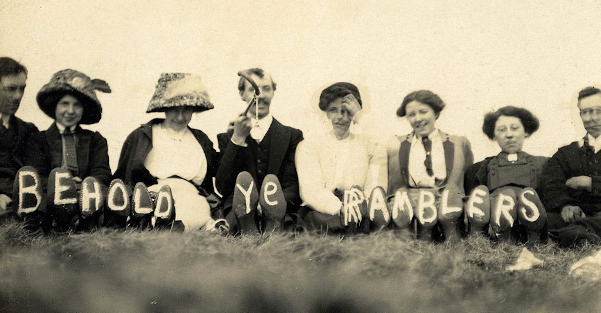
Thomas Brocklebank, owner of Irton Hall in England’s verdant lake district, sealed off a preexisting footpath that went right past his manor windows, to the chagrin of local resident John Thompson, who argued that he had the right to walk that way, windows be damned. It was a corpse road, Thompson argued, already used for centuries, and was evidenced both in local accounts and on an 1860 Ordnance Survey map. So the presiding judge declared it an official public thoroughfare. “The path had been used as a right for as long back as living memory extended,” the judge, a Justice Joyce, wrote in his decision, and so those rights should continue. It was a class issue, too, giving tenants rights that landowners had to respect, whether they liked it or not.
There was, however, a loophole—a private path could be made available to a funeral procession and remain private if the bereaved paid a token fee to acknowledge the owner’s rights. In a March 1938 edition of the Somerset County Herald, one Isabel Wyatt related that if a “toll, usually paid either in pins or pennies, [was levied] on the funeral procession: it was then believed that though the corpse was carried over the path, it did not become a right-of-way.” The fight to make and keep footpaths accessible has been continued by the modern Ramblers organization, who emerged out of the activism of radical walkers movements of the late 19th century and 1930s. They campaigned for the Countryside and Rights of Way Act of 2000, which secured public access to open spaces and allowed members of the public to submit paths for inclusion on official maps. Evidence for the public use of these paths can be drawn from pretty far back; historical time in the United Kingdom begins in 1160—precedent set from then on can be employed to define policy today. The only catch? A ticking clock. All these missing trails must be recorded, and established as historic, by 2026, the government decided, which might not be long enough; an estimated 10,000 miles of pathways are still undocumented. The Ramblers guess there are at least twice as many. A glut of applications for recognizing paths—more than 5,000—are waiting to be processed by local governments, and some claims have already been sitting in bureaucratic purgatory for a decade.

In the United Kingdom, there is more at stake than a walk in the park. Dozens of walking clubs and path preservation societies fought—sometimes bitterly—for the rights they have now.
In 1932, hundreds of walkers staged a watershed mass trespass at Kinder Scout, the highest hill in England’s Peak District, resulting in scuffles and arrests. In 1999, landlord Nicholas Van Hoogstraten (who had hired thugs to stab, shoot, and firebomb business rivals) blocked a public right of way on his East Sussex estate with a wall of refrigerators and barbed wire, and described Ramblers as “the scum of the earth” and “a bunch of disenfranchised perverts.”
“The 2000 act was a bit of a compromise at the time,” says Cornish. “The landowning lobby was saying, ‘But we want a cutoff point for when you can add these historic rights of way to the map.’”

So the Ramblers and others must establish the historic record of these half-forgotten rights of way. Forgotten pathways such as old corpse roads are fair additions, and the documentation to establish them can be composed of verbal descriptions as well as cartography. One citizen submitted an account of a footpath on the south coast of England culled from Virginia Woolf’s diaries for consideration. The path led from her home, Monk’s House, to a hut called Muggery Pope.
And Cleaver recently submitted a description of an old corpse road for review. Although he couldn’t walk it himself—it’s on private land—he visited on a bleak March day to get a feel for the landscape it traverses. Through hail and frigid winds, he could see the lay of the land matched the old corpse road description, another provided by Henry Penfold. In northwestern England, near Hadrian’s Wall and the Scottish border, the path leads from Ellery Cleugh—an old hamlet that no longer graces any present-day map—to the old mother church in Bewcastle. This part of England “is about as remote as you can get,” says Cleaver. There are rough footpaths tracking across the moorland, through villages and farms. Cleaver didn’t see a soul except for a lone farmer working despite the winter weather.
Penfold’s description lays out a series of names and waymarkers—limekilns, farmhouses, fields, streams, and junctions. “This is taken down verbatim,” he said in a 1906 speech to other members of his antiquarian society, “and is a good example of an ancient corpse-road—a road which was only a corpse-road, over which no other right-of-way save burials existed, and which through being a corpse-road became a public footpath.”
If Cleaver’s petition is approved, the path may not see much more traffic, but it will be a right-of-way in perpetuity—a map carved into the landscape, inscribed by the passage of feet.
“A lot of [the paths] are quite mundane in a lot of ways, I suppose, but they show how ordinary people went to work, or walked to the shops, or to the pub for a night out,” Cornish says. “All these rights of way are a part of history—they show how people have moved around, how people have walked in history. To me they’re as important as big cathedrals or castles.”










Follow us on Twitter to get the latest on the world's hidden wonders.
Like us on Facebook to get the latest on the world's hidden wonders.
Follow us on Twitter Like us on Facebook