AO Edited
Buttertubs Pass
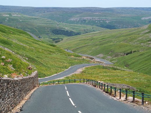
A steep and winding road in the Yorkshire Dales passes by these deep natural potholes.
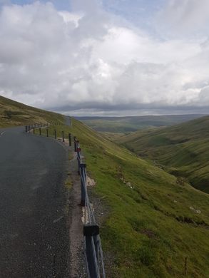
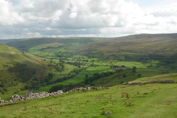
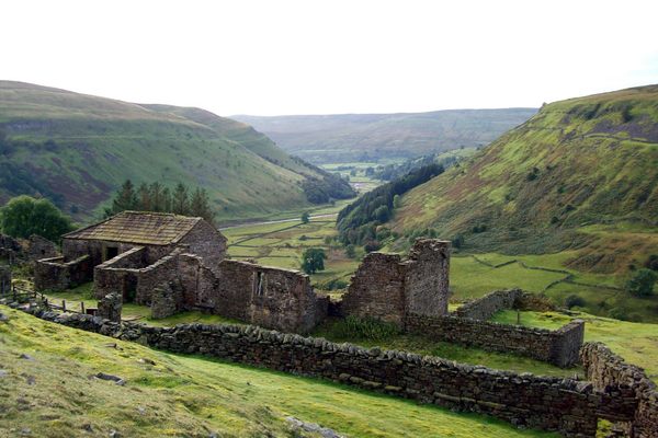
With a summit of around 1,725 feet, Buttertubs Pass is not the highest mountain pass in England, but the drive is not for the faint-hearted. The road is very narrow with sheer drops on either side. It runs over beautiful wild moorland, providing awesome views over the spectacular Yorkshire Dales.
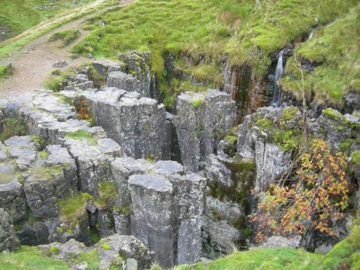
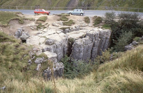
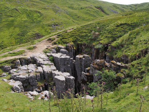
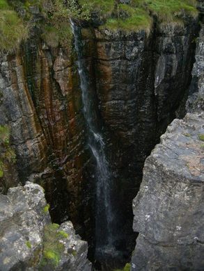
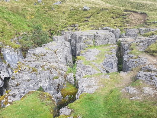
The pass is named after the 65-foot-deep limestone potholes just off the road near the summit. It is said that farmers would store their butter in these natural holes on hot days on their way to and from the market. Or perhaps the holes just look like butter tubs!
There is a convenient stopping place near the summit, which not only offers some impressive vistas but also an up-close view into the tubs themselves. In wet weather, water cascades into the tubs and they do make a curious sight.
Running between Hawes in Wensleydale and Thwaite in Swaledale, the pass is also a popular cycle route and formed part of the Grand Depart of the Tour de France when it came to Yorkshire in 2014.
Know Before You Go
The Buttertubs Pass runs between the towns of Hawes and Thwaite in the Yorkshire Dales. The map coordinates above point to the pull-off near the summit where you can see the "buttertub" rocks.
It's easy to miss one of the limestone formations, which is on the other side of the road. A narrow opening in the protective fence provides access.








Follow us on Twitter to get the latest on the world's hidden wonders.
Like us on Facebook to get the latest on the world's hidden wonders.
Follow us on Twitter Like us on Facebook