AO Edited
Chaco Culture National Historical Park
A phenomenal assembly of pueblos in New Mexico is the most complete example of ancient ruins north of the border.
An ancient and mystical place, Chaco Canyon is a fragile and vital piece of pre-Columbian cultural and historical preservation.
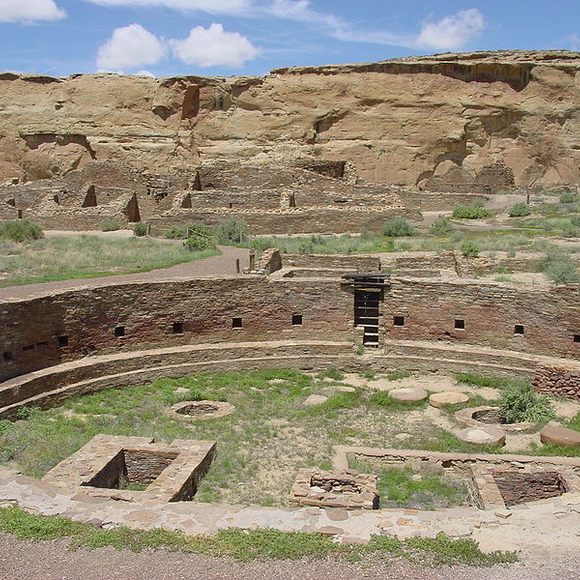
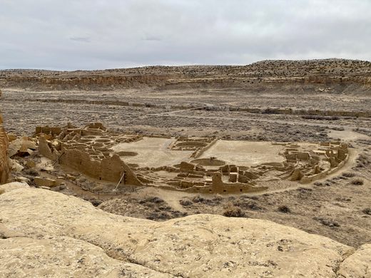
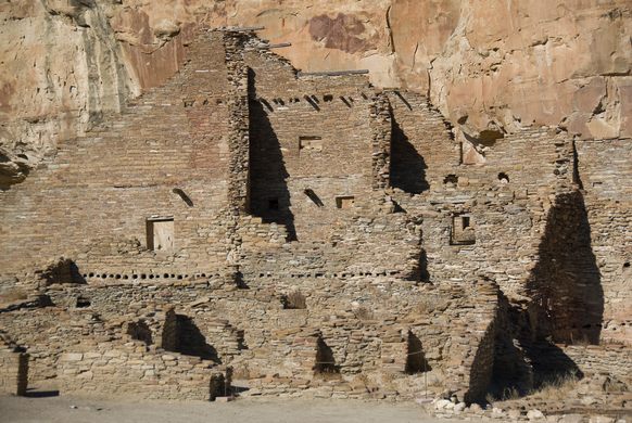
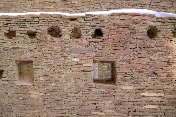
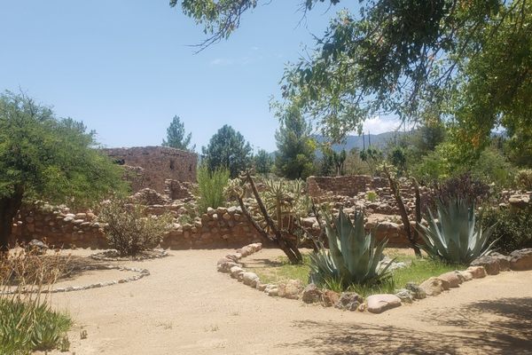
The canyon of the Chacoans was once the cultural hub for Ancient Pueblo Peoples. Huge, intricate compounds showing in their construction evidence of archeoastronomy with several of the buildings aligned to capture the cycles of the sun and moon. The canyon’s 15 complexes also contained the largest buildings north of Mexico until the 19th century. The Chacoans and their complicated, astronomically-influenced architecture thrived between the years 900 and 1150, likely moving on due to a climate change that delivered a drought that lasted half a century.
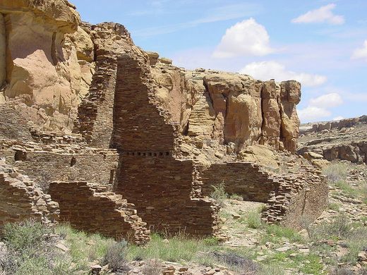
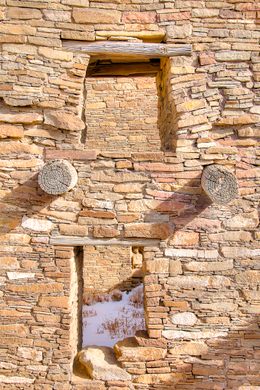
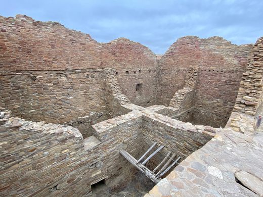
The Chacoan complexes cover a nine-mile span along the canyon floor. The Northside is home to nine of the “Great Houses,” of which there are 14 altogether. The latest Great House is Pueblo Bonito, a four-story-high complex with 650 rooms, taking up almost two whole acres of land with its girth, its massive scale indicative of the spiritual importance the Great Houses held. Most of the houses facing South are well constructed, many-roomed structures which seem to be carefully aligned. Pueblo Bonito sits directly on the East-West line, an axis that captures the passage of the equinox sun.
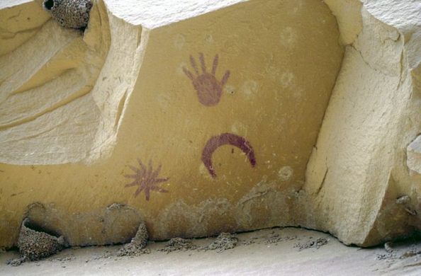
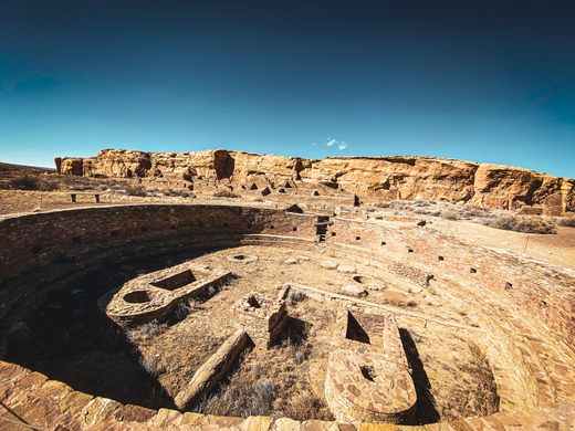
Smaller and more numerous than the Great Houses are the kivas. Some greater than others, the kivas held worshippers and contained both religious centers and dwellings. Some still standing, some remain only as foundation ruins, the park is said to contain 2,400 identified archeological sites, few of them have currently been excavated. Along with the complexes that served the city as homes and religious buildings, the site has a massive structure that is believed to have been a dam, elaborate pictographs, and tens of thousands of artifacts have been discovered just in the few excavations that have taken place.
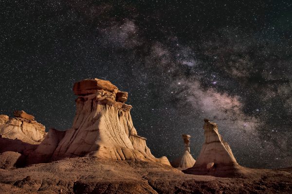
Today, the park has an observatory and hosts regular night sky programs on summer weekends, as well as special observances of the solstices and equinoxes in the great kivas. Although the park is usually closed from dusk until dawn, campsites are available.
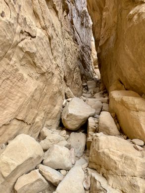
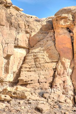
Due to the delicate condition of the erosion-prone site, some parts of the park are closed to the public, but much of it can be seen by car, or from the hiking trails provided at the visitors center.
Know Before You Go
Hwy 57 from Blanco Trading Post (on US 550) is permanently closed at the park's north boundary. Do not take Hwy 57. From US 550, go to mile 112.5 (3 miles SE mile of Nageezi) and turn onto CR 7900 and CR 7950. Follow the signs to the park. Hwy 57 south is open from the park boundary to Hwy 9. Both routes to the park are at least 15-20 miles of rough, unpaved dirt roads, and although they can be driven by a sedan, RV, or two-wheel-drive vehicle, the roads can become muddy enough to require a four-wheel-drive vehicle after even a little rain. They are also susceptible to flooding, particularly in the low-lying areas, so it's necessary to check with the visitor center about current road conditions before traveling to or from the park. The park gates may be closed between sunset and sunrise; if they are not, the roads are frequented by nocturnal animals such as rabbits.













Follow us on Twitter to get the latest on the world's hidden wonders.
Like us on Facebook to get the latest on the world's hidden wonders.
Follow us on Twitter Like us on Facebook