Grant's Canal
The ill-fated plan to reroute the Mississippi so that Union ships could bypass Confederate fortifications on the river bend.
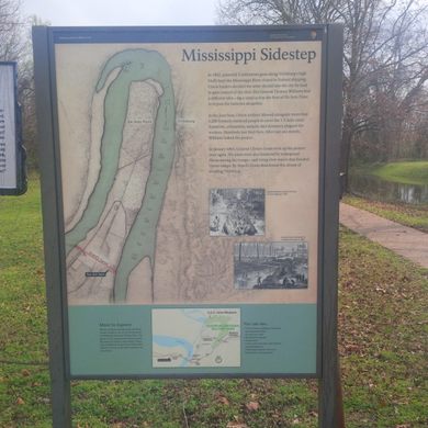
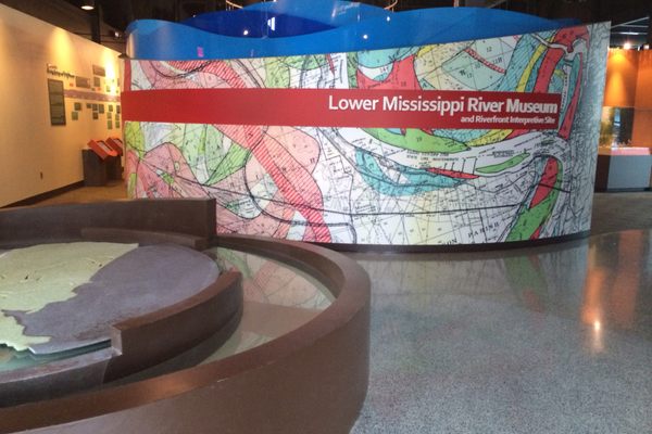
The town of Vicksburg, Mississippi, located along a high bluff on a bend of the Mississippi River, served as a critical location during the Civil War. Confederate troops stationed in fortifications there were perfectly positioned to prevent Union ships from passing through, shelling every enemy vessel that tried to travel up or down the river.
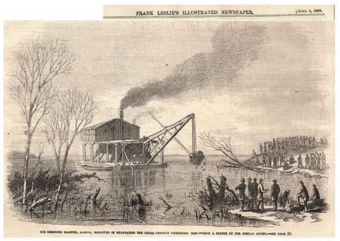
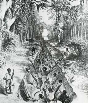
Then in 1862, Union General Thomas Williams had an idea to bypass the Confederate fortification. His troops began to cut a trench at the base of the bend. Once completed, it was thought that water would flow through the cut, creating a new channel that would redirect the course of the Mississippi downstream of Vicksburg, leaving the city on an un-navigable oxbow, and allowing the safe passage of the Union fleet.
The conditions of the location chosen for the cut were terrible, particularly during the summer months, and Northern soldiers and thousands of recently freed slaves suffered under terrible disease outbreaks and horrible living conditions. Eventually, after a few more setbacks, General Williams withdrew his troops from the location.
Major General Ulysses S. Grant reinitiated the effort during January of the following year, which earned the channel project the name “Grant’s Canal” (it’s also sometimes referred to as Williams’ canal). Eventually, the trench cut was abandoned entirely, however, and Grant’s successful offensive to surround and besiege Vicksburg was mounted.
In 1876, more than a decade later, a high water event ended up causing the exact same outcome that was originally hoped for with Grant’s cut. The course of the Mississippi River changed when a crevasse formed just above the area where Generals Grant and Williams had ordered excavations.
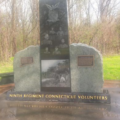
Remnants of the original cut, with historical markers, can be seen at the Vicksburg National Military Park, just outside Vicksburg on the border of Mississippi and Louisiana.
Know Before You Go
On 1-20, in Louisiana, take Exit 186 to Delta, Louisiana. Make a right at the stop sign and go to the intersection with LA-3218. Take a right and follow the road to the intersection with Old Highway 80 E. Turn right to go under the interstate. The historical markers will be on your left.











Follow us on Twitter to get the latest on the world's hidden wonders.
Like us on Facebook to get the latest on the world's hidden wonders.
Follow us on Twitter Like us on Facebook