Idaho Initial Point
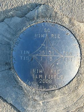
A volcanic core jutting above the plain between the Snake and Boise Rivers, a marker identifies the reference point for all U.S. Government Surveys in Idaho.
As new territory was added to the growing United States of America in the mid-1800s, public lands were officially recorded through a process of survey that mapped sections of land into one-mile square parcels, each containing 640 acres.
When Congress created the Idaho Territory in 1863, in the midst of the U.S. Civil War, it originally included parts of what are today the states of Montana, Wyoming, and Idaho. Because President Lincoln and Congress were concerned with other pressing matters, some of the administrative support to the new Idaho Territory was lacking. Mr. William Wallace, a non-voting delegate from the Idaho Territory, succeeded in amending the Sundry Civil Appropriation Bill to provide $10,000 “for surveys in Idaho.”
The office of U.S. Surveyor General for Idaho was established in November 1866 and led by Lafayette Cartee. On April 19, 1867, the initial point was established by Peter W. Bell, U.S. Deputy Surveyor, and Cartee’s brother-in-law, under contract No. 1 of the Idaho Office of the U.S. Surveyor General.
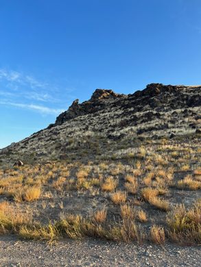
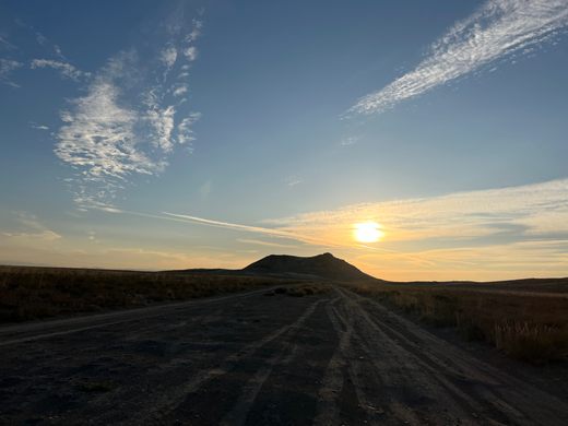
The point was chosen on a volcanic core that stood out above the plain between the Snake and Boise Rivers. Bell used astronomical observations to identify the point and establish the initial point from which all U.S. Government surveys were based in the nearly 54 million acres of land in Idaho.
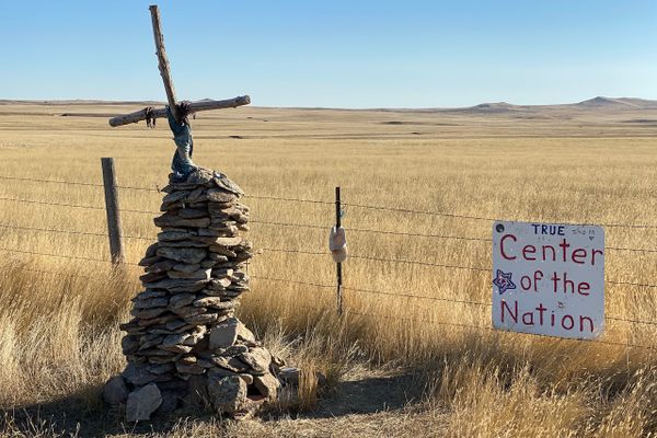
The first marker was composed of a “pine post in top of a mound of stone, 6 ft. base and 6 ft. high, with a stone 14x12x4 inches marked with a X laid on north side of post.”
The north-south line from this point is called the Boise Meridian, which runs the entire length of the state north to Canada and south to Nevada. The Idaho city of Meridian was named for the Boise Meridian and lies directly north of the Initial Point. The point is one of 37 federal survey points of origin covering the United States selected over a span of 150 years to map newly acquired federal land.
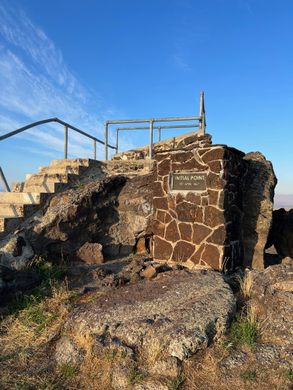
Today, the point is marked with a brass disk embedded in concrete on a small platform atop the volcanic core.
Know Before You Go
The last mile or so of road to get to the point is gravel and not in great shape. Take care driving on the road, and unless you have 4-wheel drive, it is not recommended that you attempt to drive up the rough road to the summit of the core. Though the path is walkable, it is by no means an easy climb over uneven ground.






Follow us on Twitter to get the latest on the world's hidden wonders.
Like us on Facebook to get the latest on the world's hidden wonders.
Follow us on Twitter Like us on Facebook