Lambert Centre of Australia
Finding the exact middle of a giant land mass is hard to determine, but this spot managed to do the trick.
Imagine the shape of Australia. It isn’t perfectly round, not even close. So how would a cartographer or surveyor attempt to find the exact geographic centre of such a shape? Add to that Australia’s size and the curvature of the Earth, and the task becomes even more daunting.
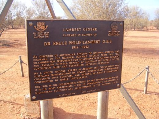
There have been several methods employed to find such a centre, but only one is named for Dr. Bruce Lambert, one of the nation’s top cartographers. The Lambert Centre of Australia was calculated in 1988 by the Royal Geographical Society of Australia to commemorate the Bicentennial of Federation, and to honor the late Dr. Lambert, former director of the Division of National Mapping and chairman of the National Mapping Council.
Similar to what’s known as the “gravitational method,” the Geographical Society’s calculation did with math what had been done with geometry, weights, and physical models. The centre of a land mass is determined as the spot at which the shape, balanced on a single point, manages to balance. Imagine an unevenly shaped platter balancing on the tip of your finger: move the platter around until it doesn’t fall off, and you’ve found its gravitational centre. Now think of Australia as a giant platter balancing on a fingertip, throw in that the platter is a bit concave (that’s the curvature of the Earth), and you have found its centre.
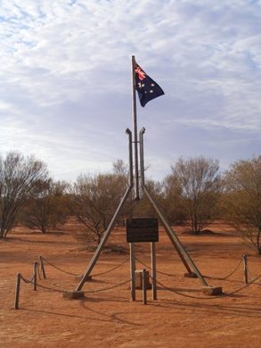
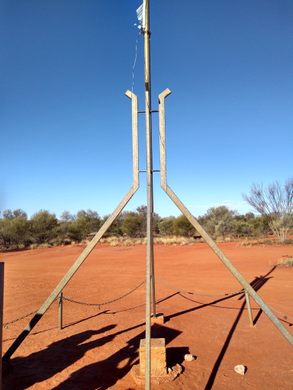
The Lambert Centre was calculated using data from 24,500 high-water marks along Australia’s long coastline, and once the point was located on a map, it was commemorated with this monument, a scaled-down replica of the distinctive flag pole found on top of the Commonwealth Parliament House in Canberra. The plaque was unveiled in August of 1994, attended by the Presidents of the Institute of Surveyors Australia and the Australian Institute of Cartographers.
Less than 7 miles (11 kilometres) away from Lambert’s spot, a gravitational centre had been previously calculated in the 1930s by the geologist and explorer Dr. Cecil Madigan. But he used a more crude method, one much closer to that platter and fingertip scenario. Dr. Madigan used a metal cut-out of Australia.
Know Before You Go
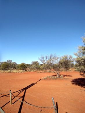
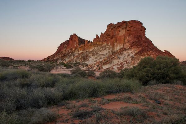
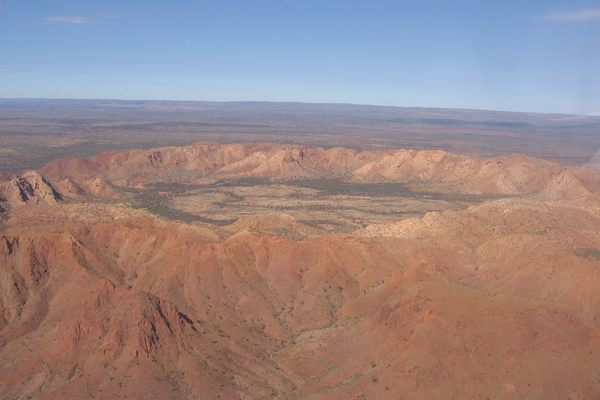
Found around 200km south of Alice Springs, the site can be visited in a day, but a good 4x4 and some off road driving experience is recommended.








Follow us on Twitter to get the latest on the world's hidden wonders.
Like us on Facebook to get the latest on the world's hidden wonders.
Follow us on Twitter Like us on Facebook