Pompey's Pillar
The last physical evidence of the Lewis and Clark trail is one of their autographs etched into this giant rock.
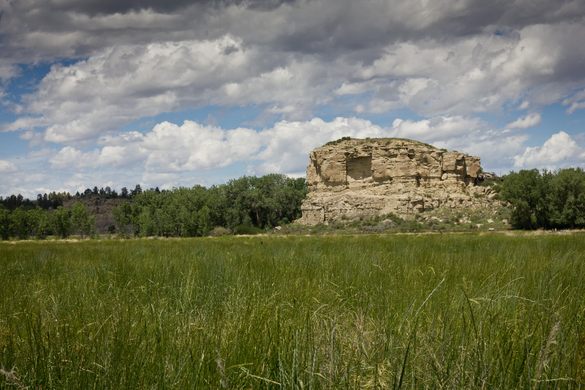
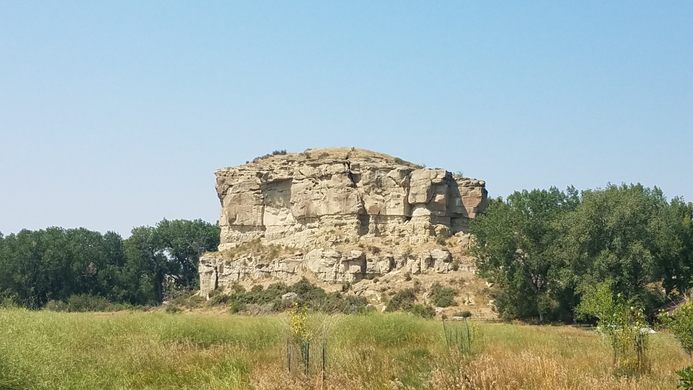
Montana’s uniquely named Pompey’s Pillar is a towering natural sandstone butte that not only holds a great deal of American Indian petroglyphs, but also the clear cursive signature of William Clark, one half of the superstar exploration duo, Lewis and Clark.
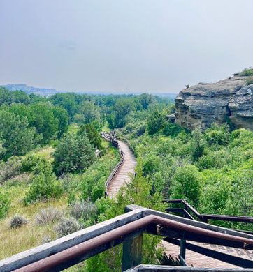
As Lewis and Clark made their way west across the little known (to Europeans) American landscape, the party decided to split up in Montana, to cover more ground. Clark’s half of the expedition came to the tall sandstone bluff on July 25th, 1806, and Clark climbed to the top, remarking in his journal what a great view the stone afforded. The rocky outcropping stands almost 150 feet above the surrounding landscape, and has a footprint that is about an acre wide. Despite the reference to Caesars rival and famous Roman triumvirate member, Clark named the stone pillar “Pompy’s Tower” after Sacagawea’s son who had been nicknamed “Pomp.” In 1814 the name was changed to its present form, “Pompey’s Pillar” by Clark’s journal editor, Nicholas Biddle, to be more in line with acceptable American grammar.
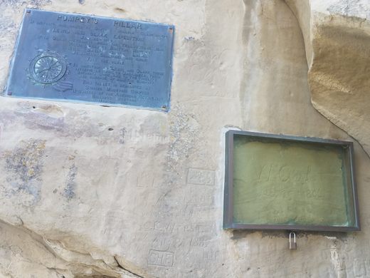
When Clark arrived at the rock it had already been extensively marked with American Indian petroglyphs. The local tribes had known the site as “the place where the mountain lion lies,” although it is unknown whether this name refers to the existence of any actual animals or the shape of the pillar itself. Clark also left his own mark, etching his name and the date deep into the rock face.
Today the rock still holds the traces of those ancient petroglyphs and Clark’s signature, which is protected behind plexiglass. The autograph is the only remaining physical evidence of the Lewis and Clark trail still in existence in the wild.







Follow us on Twitter to get the latest on the world's hidden wonders.
Like us on Facebook to get the latest on the world's hidden wonders.
Follow us on Twitter Like us on Facebook