Roosevelt Inlet Shipwreck
A wrecked ship dating back to the American Revolution was only recently discovered off the Delaware coast.
Hurricanes have rocked the East Coast of the United States for centuries. Add to the equation strong Atlantic currents, a mix of shoals, and ships that for ages were primarily made out of wood, and you’ve got a coastline turned into a veritable boneyard.
This is exactly the case on the Delaware coast. It’s believed that over the centuries thousands of ships have met their watery end along these shores, but the majority of wrecks have never been discovered, and only a few have been explored and identified by archaeologists.
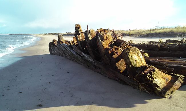
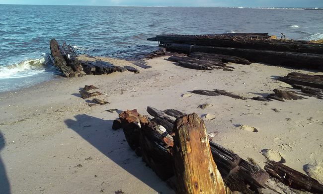
Once such case is the mysterious Roosevelt Inlet shipwreck. The mere existence of the wreck was relatively unknown to locals until 2004, when it was uncovered during a dredging operation near the inlet, off the coast of Lewes. It wasn’t until 2006 that underwater archaeologists determined the dormant ship was most likely a European commercial vessel that had run aground sometime in the 1770s, making it a fascinating relic of colonial America’s journey to independence.
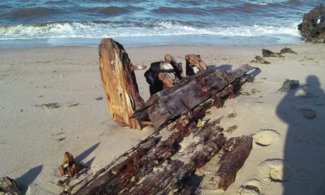
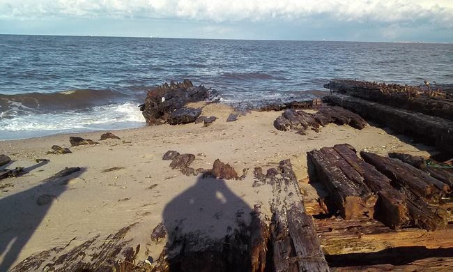
Though the remains are in a surprisingly well-preserved state, only a small portion of the hull is intact. Still, archaeologists were able to determine that the ship sank offshore in March of 1772 (now near the current inlet, which didn’t exist then). The ship’s name was the Severn, captained by Jonathan Hawthorn, and all crew survived. It was a British merchant ship, heading to an anchorage in the Broadkill River when it ran aground on a sandbar. It carried goods from Britain, Holland, Germany, South Africa, and China. Thousands of artifacts were collected from the dredge spoils on Lewes Beach, and many were given to archeologists. Some artifacts are still found occasionally along Lewes Beach between the Yacht Club and Children’s Beach Home.
Know Before You Go
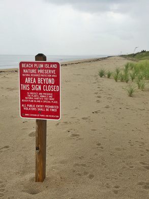
The wreck is not accessible as resides on a protected wildlife area. High tide is good at covering things, especially shipwrecks. Go check this one out during low-tide when the hull is exposed. The best approach to the wreck is from the north. Turn east on Broadkill Road from Route 1 and drive all the way to S. Bay Shore Dr. then turn right (south). After about 1.5 miles, the road dead-ends at a small pay parking lot. There is a beach access and the wreck is about a one-mile walk south of this point.





Follow us on Twitter to get the latest on the world's hidden wonders.
Like us on Facebook to get the latest on the world's hidden wonders.
Follow us on Twitter Like us on Facebook