AO Edited
Thornborough Henges
This collection of ancient structures makes up part of the largest group of prehistoric earthworks in Britain.
The site at Thornborough Henges is an unusual ancient monument complex, which includes the three aligned henges that give the site its name. The site also includes many large ancient structures including a cursus, some burial mounds, and settlements. The Thornborough Henges make up a part of the largest group of prehistoric earthworks in Britain, which stretches from the Devil’s Arrows standing stones at Boroughbridge in the south to the destroyed cursus at Scorton to the north.
The site at Thornborough is thought to have been part of a Neolithic and Bronze Age ritual landscape that is considered comparable to Sailsbury Plain—hence its nickname “Stonehenge of the North.” Historic England suggests this site had equal ceremonial importance as the more famous sites of Stonehenge, Avebury, and Orkney in Scotland, yet this site is still relatively unknown to the wider public.
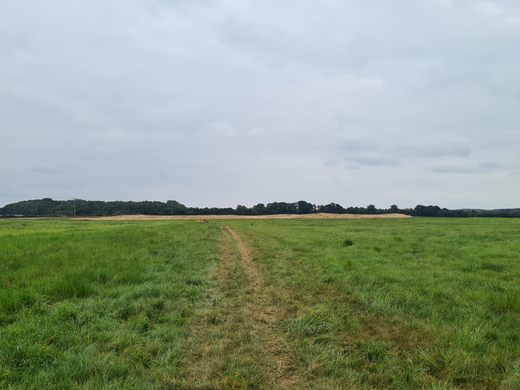
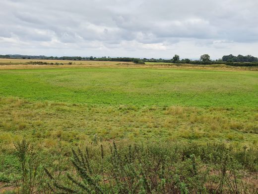
The henges sit on a flat plateau of land between the rivers Swale and Ure. The ancient structures at Thornborough date from between 3500 and 2500 B.C. However, the area was already the focus of ceremonial activity long before the henges were built. This is evident in the presence of a middle Neolithic barrow and two mortuary enclosures just a few hundred meters from the henges.
The central henge has been found to have been built over an already in situ 1,200-meter-long cursus, which may been used for processions.
The three henges are nearly identical in size and layout, each with a diameter of about 240 meters with two 15-meter-wide entrances situated directly opposite each other, but not aligned between the different henges.
The henges are located around 550 meters apart on a northwest-southeast alignment, although there is a odd ‘dogleg’ angle in the layout. Research has suggested that this layout appears to mirror the three stars of Orion’s Belt.
The exact purpose of the henges is unclear though archaeological finds at the site seem to suggest that they served both economic and social purposes as well as astronomical ones.
Archaeological excavation of the central henge has taken place and it is currently the subject of ongoing investigations. This excavation work has found that the banks were covered with locally mined gypsum, the white sheen would have been striking and visible for miles around.
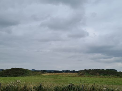
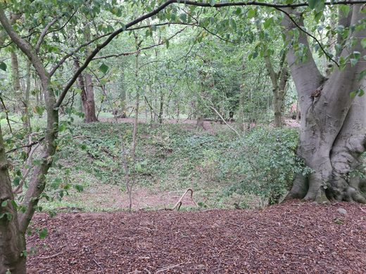
The northern henge is currently overgrown with trees and difficult to spot, initially to just be a clump of trees, but is thought to be one of the best-preserved henges in Britain. The central and southern henges are unfortunately in a poorer condition although the banks of both the henges are still quite prominent, especially that of the central henge.
A double alignment of pits, which when excavated held wooden remains, suggests there was a timber processional avenue extending from the southern henge. To the other side, a mound was recently rediscovered as the possible location of a chieftain’s burial.
To gain a full appreciation of the scale of the monument it is best viewed from the air, so for those of you with a drone the site will really come to life.
Know Before You Go
The site is located near the village of Thornborough, close to the town of West Tanfield in North Yorkshire.
There is limited parking at the side of the road that cuts through the site between the centraland southern henges.








Follow us on Twitter to get the latest on the world's hidden wonders.
Like us on Facebook to get the latest on the world's hidden wonders.
Follow us on Twitter Like us on Facebook