AO Edited
Virginia City Flume
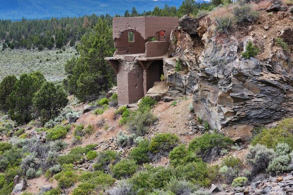
Ruins of the original wooden flume that carried water to Virginia City are still visible high on the Virginia Range.
Virginia City, Nevada, was a boomtown that sprang up during the silver bonanza of the Comstock Lode. The town quickly outgrew its local water supplies, and an elaborate project was devised to bring in water from the Carson Range, the shoulder of the Sierra Nevada just east of Lake Tahoe. It involved flumes, reservoirs, tunnels, and an “inverted siphon,” a length of pipe that dropped down to cross Lakeview Pass.
The height of the pipe on the Carson Range side provided enough hydraulic head to raise the output water level such that it could cross the Virginia Range to the east through a pass. Hence the entire system could run by gravity. For this to work, the pipe at the low point in Lakeview Pass had to withstand pressures of close to 800 pounds per square inch, and that it did so was a triumph of 19th-century engineering. Remarkably, the system was in operation by the mid-1870s. In essence, it remains in use today, having been upgraded piecemeal over the years.
The outlet of the siphon fed directly into a wooden flume that came down to a reservoir at the pass over the Virginia Range, from which it could then flow to Virginia City. This flume was in use up to the 1950s, when it was finally replaced with an 8-inch steel pipe. The old flume wasn’t removed, however, and its weathered remains are still visible.
Know Before You Go
Accessing the flume remnants requires either a grueling hike or a high-clearance, 4wd vehicle. A road roughly paralleling the flume was built to access the new pipe; however, this "pipeline road" is a steep, rough, narrow shelf road with limited provision for oncoming traffic to pass and limited parking. Either end of the pipeline road can be accessed via 4wd road, at which point hiking along the old flume itself will probably be more practical.
To access the pipeline road from the north: From Washoe Valley, take Jumbo Grade road 3.4 miles from the well-marked OHV trailhead to the crest of the Virginia Range (39.284851 N, 119.697237 W). Here go right (south) to the site of the old reservoir, about 0.9 miles (39.274901 N, 119.701163 W). The pipeline road comes in on the right.
Alternatively, the crest can be reached from Virginia City, and this is a popular route for hikers as the elevation gain is less. Turn west on Ophir Grade (39.299546 N, 119.654429 W) off Nevada State Route 342 between Gold Hill and Virginia City and proceed 3.7 miles.
To access the pipeline road from the south: From Carson City, take Goni (GO-nye) road north. It will make a right-angle bend at a gated gravel pit. Continue 3.6 miles from the gravel pit, passing a cinder quarry at about 2 miles, to an intersection with a road coming from the left (39.241373 N, 119.721548 W). Turn left onto this road and go 0.2 mile to the edge of another quarry, then turn right (N). Follow this road 0.6 miles; it will wind around to left to intersect the pipeline road on the left (39.247821 N, 119.729531 W).
The pipeline road runs about three miles between these endpoints.


Follow us on Twitter to get the latest on the world's hidden wonders.
Like us on Facebook to get the latest on the world's hidden wonders.
Follow us on Twitter Like us on Facebook