Water Gap
The site of an improbable and ill-fated attempt to use dammed floodwaters for irrigation.
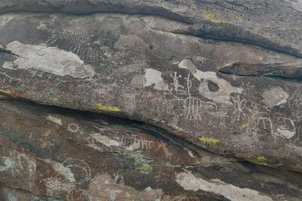
In geology, a “water gap” is an active watercourse that crosses a mountain range. Water Gap is therefore not a misnomer, as it’s where drainages from the Grant and Quinn Canyon Ranges to the west, in Garden Valley, converge to cross the Golden Gate Range. They flow out into a playa (dry lake bed) in Coal Valley.
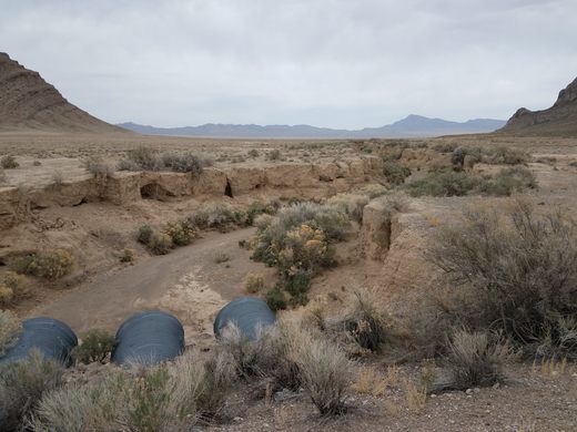
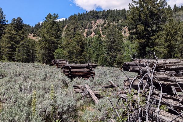
Water Gap was the site of an improbable (and ephemeral) agricultural development project around the turn of the last century. The Cherry Creek Irrigation Company built a dam at Water Gap and platted a townsite, Oneota, with the idea that the stored water could irrigate crops. Unfortunately, the dam quickly washed out and the whole project had to be abandoned. Remains of the dam are said to be visible, but it’s pretty much gone now. In fact, erosion has now incised a channel about 10 feet deep through the middle of the gap.
The area now lies completely within the Basin and Range National Monument, so anything that is left is protected. Please take only pictures and leave only footprints.
Know Before You Go
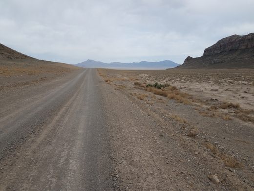
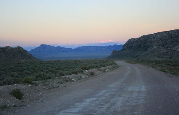
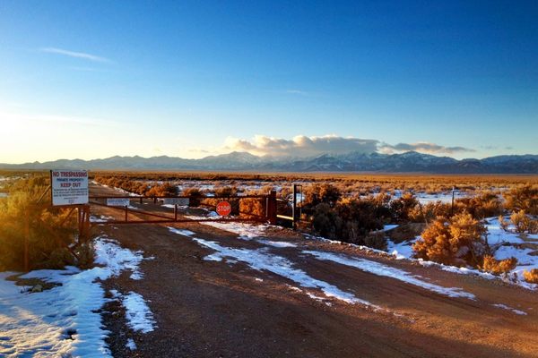
There is no easy way to get there; any route involves a long stretch on nominally graded dirt roads. Probably the easiest is off Nevada State Route 318 onto Mail Summit Road. This route is graded, but wide and should be passable to passenger cars in dry weather, although beware of washouts.
Turn left off SR-318 8.7 miles north from its junction with NV-375 (the Extraterrestrial Highway). At 11.2 miles in, and over Mail Summit, the road becomes the West Coal Valley Road; continue straight here. Keep going another 21 miles to Water Gap.









Follow us on Twitter to get the latest on the world's hidden wonders.
Like us on Facebook to get the latest on the world's hidden wonders.
Follow us on Twitter Like us on Facebook