AO Edited
Tonle Srepok
The river depicted in the antiwar film 'Apocalypse Now' was likely based on this Mekong tributary.
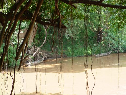
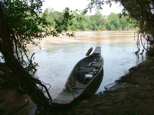
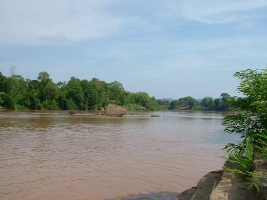
Tonle Srepok is a major tributary of the Mekong River that runs between the Vietnamese province of Đắk Lắk, and the Ratanakiri and Stung Treng provinces in Cambodia. Before the development of modern roads, the river was crucially important to Lao, Khmer, and Vietnamese people for trading purposes, and as a supply line during the U.S.-Vietnam War.
Tonle Srepok (also called the Srepok or Serepok River) was along a branch of the Ho Chi Minh Trail and was used to supply North Vietnamese forces fighting in South Vietnam with weapons, ammunition, and food. When the U.S. Army discovered this, the whole area was heavily bombed, leaving behind a huge amount of unexploded ordnance that even today maims those unfortunate enough to step on or hit one. Rumors of U.S. Special Forces infiltrating Ratanakiri province abound—as to the veracity of these rumors, opinions vary.
As for Apocalypse Now, in a nutshell, Francis Ford Coppola’s 1979 film portrays Captain Willard’s journey along a river going from Vietnam to Cambodia on a mission to find and assassinate renegade Colonel Kurtz. It’s unlikely the scenes were actually shot on the Srepok River, as Coppola was forced to film the movie in the Philippines due to security reasons in Cambodia. However, it’s often said that the river in the film was meant to depict the Tonle Srepok, which may well be true. Among all the sizeable rivers running from Vietnam to Cambodia through heavily forested areas, Tonlé Srepok is the most likely to fit the bill.
On a side note, in one of the last scenes of the movie, a water buffalo is sacrificed in a ritual. Coppola maintains that he simply encountered that version of the ritual among the Filipino people he was working with, but surprisingly, a similar ritual is also performed among the Kachok living in Ratanakiri along Tonle Srepok. It’s probably a coincidence, but interesting nonetheless.
Know Before You Go
If you want to see TonleSrepok before it merges with other rivers, the best place is Lumphat. Alternatively, Road no. 76 runs south from Lumphat, across the Lumphat Wildlife Sanctuary, and along Tonle Srepok, and for the first couple of kilometers, this road is about 2 km from the river. Further south, the road diverges to a distance of about 15 km, and having a guide vastly increases the chance of finding the river, and more importantly, finding the way back to the road. Due to the presence of unexploded ordnance, you should not stray off well-trodden paths.






Follow us on Twitter to get the latest on the world's hidden wonders.
Like us on Facebook to get the latest on the world's hidden wonders.
Follow us on Twitter Like us on Facebook